
Last Updated
Overview
QGIS enables organizations to create, analyze, and share geospatial data across desktop, web, cloud, and mobile environments. While some extended capabilities rely on community-developed plugins, it provides a flexible, open framework. It is well-suited for GIS professionals, researchers, and public sector teams managing spatial data.
Be the first one to leave a review!
No review found
Starting Price
Custom
QGIS Specifications
- Reporting And Analytics Dashboards
- Mobile Accessibility
- Vendor Contract Management
- Real Estate And Lease Management
What Is QGIS?
QGIS software is a geographic information system designed for individuals and organizations that need spatial visualization and decision-making tools. Available on Windows, Mac, and Linux, the software supports creating maps, editing layers, processing and analyzing data, and sharing results across desktop, mobile, cloud, and print media. It helps users work with diverse data sources, apply standardized web services, and extend functionality through an open community-driven ecosystem.
QGIS Pricing
Disclaimer: The pricing is subject to change.
QGIS Integrations
QGIS features seamless integration with various third-party applications, including:
- QField
- Mergin Maps mobile app
- IntraMaps Roam
Who Is QGIS For?
The platform caters to a variety of industries, including:
- Aerospace and aviation
- Civil engineering
- Infrastructure and urban planning
- Geospatial and GIS consulting
- Environmental data and risk intelligence
- Energy and utility data services
- Public sector and government administration
Is QGIS Right For You?
If you are looking for free and open-source software that delivers spatial visualization and decision-making tools across Windows, Mac, and Linux, QGIS provides a cross-platform environment for creating, analyzing, and publishing geospatial information.
With desktop, server, web, and mobile support, a global community, and an extensive plugin ecosystem, QGIS offers a flexible foundation for organizations and individuals working with geospatial data. It may be a strong fit for those seeking an open, community-driven GIS solution.
Still not sure if QGIS is right for you? Our support staff is available at (661) 384-7070 to help you make the right choice.
QGIS Features
Edit Layers
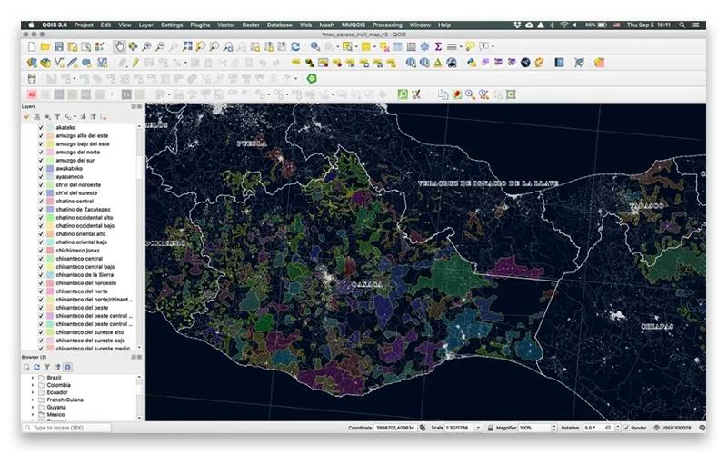
QGIS provides exceptional digitizing capabilities for precise creation and editing of points, lines, polygons, and meshes. It includes advanced construction tools, CAD-like geometry functions, and customizable forms that streamline structured data capture workflows efficiently.
Share Maps
The software supports a wide range of data formats and seamless integration across diverse sources and systems. It enables standards-based web services, cloud publishing, and mobile accessibility to distribute spatial information efficiently across platforms.
Create Maps
QGIS delivers class-leading cartography through extensive design controls, enabling the creation of detailed, visually compelling maps. It enables professional layout production, large-format printing, and the creation of dynamic atlases that seamlessly combine maps, media, and structured tabular reporting elements.
Process And Analyze
The platform offers a comprehensive suite of analytical tools designed to uncover spatial insights across diverse datasets. It supports automated workflows and extends functionality through a robust plugin ecosystem for advanced geospatial processing capabilities.
Pros And Cons of QGIS
Pros
Supports exporting maps in multiple widely used formats
Handles complex geospatial analysis across large datasets efficiently
Produces visually compelling, presentation-ready map outputs
Cons
Occasional crashes disrupt workflows and risk data loss
Version updates can create backward compatibility issues across projects
QGIS Reviews
No reviews yet!
Be the first to review this product
Frequently Asked Questions
What types of pricing plans does QGIS offer?
Pricing for QGIS is free, with no licensing or subscription costs. Based on industry benchmarks, server setup and deployment may range from $2,000 to $15,000, data migration and GIS configuration from $1,000 to $10,000, while optional cloud hosting or custom plugin development can add $1,000 to $20,000, depending on requirements. Request a detailed QGIS price breakdown for your organization today.
Does QGIS offer an API?
Yes, QGIS offers an API.
Does QGIS have a mobile app?
No, QGIS does not offer a dedicated mobile application.
What language does QGIS support?
QGIS primarily supports the English language.
What other apps does QGIS integrate with?
QGIS integrates with third-party applications such as QField, Mergin Maps mobile app, and IntraMaps Roam to extend project access and functionality to mobile and field environments.
Who are the typical users of QGIS software?
QGIS serves a range of industries, including aerospace and aviation, civil engineering, infrastructure and urban planning, geospatial and GIS consulting, environmental data and risk intelligence, energy and utility data services, and public sector and government administration.
What level of support does QGIS offer?
QGIS offers support through FAQs, documentation, news, blog, Telegram, email, user groups, and Facebook.